The Kansas Ag-Climate Update is a joint effort between our climate and extension specialists. Every month the update includes a brief summary of that month, agronomic impacts, relevant maps and graphs, 1-month temperature and precipitation outlooks, monthly extremes, and notable highlights.
December 2020: Warm winter continues along with sparse precipitation
December was near the middle of the distribution for precipitation. It ranked as the 84th driest December since 1895. The southern divisions had more moisture. Statewide average precipitation for the month was 0.99 inches, 97 percent of normal. The West Central Division was the driest, with an average of 0.18 inches, 29 percent of normal (Figure 1). The Southeast averaged the highest with 2.09 inches, 115 percent of normal.
Temperatures were above normal. The statewide average for December was 35.0 oF, which is 3.8 degrees warmer than normal. Unlike November, the thermal heat unit accumulation was driven by warm maximum temperatures. There were 58 daily record high maximum temperatures and 6 daily record warm minimum temperatures.
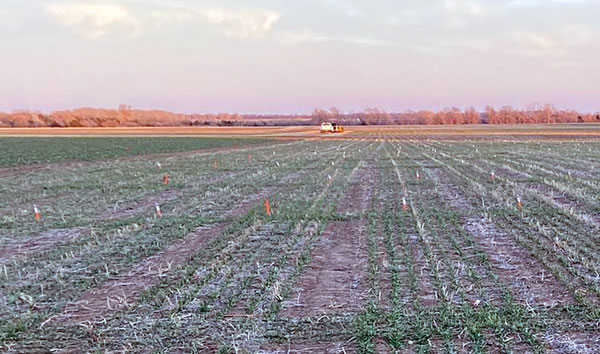
Figure 1. Low soil moisture has delayed wheat emergence and development in some areas. Photo by Romulo Lollato, K-State Research and Extension.
View the entire December Ag-Climate Summary, including the accompanying maps and graphics (not shown in this summary), at http://climate.k-state.edu/ag/updates/.