The Kansas Ag-Climate Update is a joint effort between our climate and extension specialists. Every month the update includes a brief summary of that month, agronomic impacts, relevant maps and graphs, 1-month temperature and precipitation outlooks, monthly extremes, and notable highlights.
March 2021: Quite Warm and Wet Experience for Wheat in March
March was much wetter than normal for all divisions, ranking as the 5th wettest March since 1895. As a percent of normal, the East Central Division was the driest with 3.85 inches, 145 percent of normal. The Northwest was the wettest, at 3.46 inches, 262 percent of normal. This resulted in improving drought conditions across the state.
March also had warmer than normal temperatures, with statewide average of 3.7 degrees warmer than normal, ranking it as the 22nd warmest March of record. Not many records were set in either the maximum or minimum temperatures. There were 13 new record high daily maximums, and 25 new record high daily minimums. These conditions promoted the spring development of the winter wheat crop, as the crop has started to elongate stem across the entire state, being close to flag leaf emergence in southern portions (Figure 1).
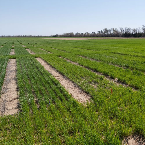
Figure 1. Wheat plots in Hutchinson, KS. Photo by N. Giordano, K-State Research and Extension.
View the entire March Ag-Climate Update, including the accompanying maps and graphics (not shown in this short article), at http://climate.k-state.edu/ag/updates/.