The Kansas Ag-Climate Update is a joint effort between our climate and extension specialists. Every month the update includes a brief summary of that month, agronomic impacts, relevant maps and graphs, 1-month temperature and precipitation outlooks, monthly extremes, and notable highlights.
April 2021: Cool, dry conditions challenge wheat in April
April was much drier than normal. It ranked as the 23rd driest April since 1895. All divisions were drier than normal. As a percent of normal, the Southwest was the driest with 0.29 inches, 18 percent of normal. The East Central was the wettest at 3.06 inches, 86 percent of normal. This resulted in expanding drought conditions across the state.
Cooler than normal temperatures dominate April. The statewide average for April was 1.6 degrees cooler than normal, ranking it as the 37th coolest April of record. Not many individual records were set in either the maximum or minimum temperatures. There were 23 new record daily high maximums, and 13 new record high daily minimums. There were also 28 new record low maximums and 8 record low minimums. Severe weather season continued in April with the report of zero tornadoes, 22 hail events, and five damaging wind events. The most significant event during April was the extreme cold that occurred mid-month, coupled with snow (Figure 1).
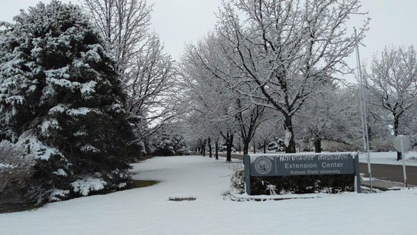
Figure 1. Snowfall in Colby, KS on April 17, 2021. Photo by Lucas Haag, K-State Research and Extension.
View the entire April Ag-Climate Update, including the accompanying maps and graphics (not shown in this short article), at http://climate.k-state.edu/ag/updates/.